The White Nile is Africa's most storied river — a waterway that has shaped civilisations, mystified explorers, and sustained tens of millions of people across six countries. In South Sudan, the river reveals its most dramatic and untamed character: a vast, slow, reed-choked passage through one of the world's last great wilderness regions.
Origins: The Question of the Source
For centuries, the Nile's source was one of geography's great unsolved mysteries. Ancient Egyptians venerated the river as divine but had no knowledge of where it began. Greek and Roman scholars speculated about "Mountains of the Moon" in the African interior. It was not until the mid-nineteenth century that European explorers — building on the knowledge of Arab traders and African guides — began to untangle the truth.
The answer, when it came, pointed to the Great Lakes of East Africa. Lake Victoria — the world's second-largest freshwater lake by surface area — collects rainfall from the highlands of Uganda, Kenya, Tanzania, Rwanda, and Burundi. The lake's primary outlet is the Victoria Nile, which spills north from Jinja in Uganda over Ripon Falls (now submerged beneath Owen Falls Dam) and continues north and west through Lake Kyoga before tumbling over Murchison Falls into Lake Albert.
From Lake Albert, the river continues north as the Albert Nile, crosses into South Sudan, and from the border town of Nimule is known as the Bahr el Jebel — the "Mountain Sea." This marks the beginning of the White Nile's passage through South Sudan, and the beginning of its transformation from a fast-moving tropical river into something altogether more extraordinary.
📏 Nile Key Facts
Total length: ~6,650 km (world's longest river) · Source: Kagera River, Burundi/Rwanda · Through South Sudan: ~900 km · Main tributaries in South Sudan: Sobat River, Bahr el Ghazal · Outflow: Mediterranean Sea via Egypt
Through South Sudan: The Bahr el Jebel
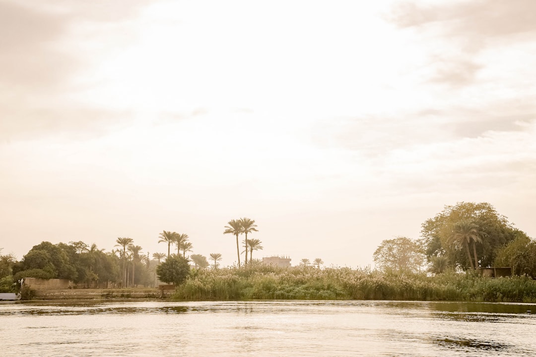
Entering South Sudan at Nimule, the Bahr el Jebel is still a fast, rocky river, hemmed in by the foothills of the Imatong Range. But as it moves north toward Juba, the gradient relaxes, the valley widens, and the river begins to take on its characteristic sluggishness. By the time it reaches Juba — South Sudan's capital — the river is broad and brown, its banks lined with papyrus and acacia, its surface broken by the occasional sandbank or floating island of vegetation.
North of Juba, the river receives the Sobat from the east — itself fed by rivers draining the highlands of Ethiopia. This confluence substantially increases the Nile's flow and marks the beginning of the transition into the Sudd. The seasonal pulse of the Ethiopian rains, carried down the Sobat, gives the Nile in South Sudan its dramatic annual rise and fall: in a good year, water levels can fluctuate by four metres or more.
The Sudd: The River's Labyrinth
Between roughly 7°N and 10°N, the White Nile enters the Sudd — the vast papyrus swamp that covers up to 130,000 square kilometres during peak floods, making it the largest tropical wetland on Earth. The word "sudd" comes from the Arabic for "barrier," reflecting the near-impossibility of navigating the maze of channels, floating vegetation mats, and shallow lakes that fill this enormous depression in the landscape.
In the Sudd, the river splits into dozens of distributaries. Some channels carry moving water; others are dead ends choked with papyrus and water hyacinth. The main stream — loosely defined — winds through this labyrinth for some 400 kilometres, losing enormous quantities of water to evaporation and transpiration along the way. Estimates suggest that nearly half the water entering the Sudd from the south is lost before the river emerges to the north, near the town of Malakal.
The Sudd's ecology is as remarkable as its hydrology. It supports extraordinary concentrations of birds — shoebill storks, African fish eagles, saddle-billed storks, and tens of thousands of pelicans — as well as hippopotami, crocodiles, and the vast herds of antelope and buffalo that move between its seasonal grasslands and the drier savannah to the east and west. UNESCO designated parts of the Sudd as a Ramsar Wetland of International Importance, recognising its global significance.
The River Beyond the Sudd
Emerging from the Sudd near Malakal, the White Nile resumes a more defined channel and continues north into Sudan, where it eventually joins the Blue Nile at Khartoum — the famous confluence that creates the main Nile of Egypt. The Blue Nile, rising in the Ethiopian highlands and Lake Tana, carries the majority of the Nile's total flow, particularly the annual flood pulse that made Egypt's agricultural civilisation possible.
But without the White Nile — without its steady, year-round contribution to the river's base flow — the seasonal peaks of the Blue Nile would drain away without trace, and the Nile in Egypt would run dry for months each year. South Sudan's contribution to one of the world's great river systems is thus both immense and largely unrecognised.
The Nile and Regional Connections
The White Nile does not belong to South Sudan alone. Its waters flow north from South Sudan through Uganda — South Sudan's southern neighbour and one of East Africa's fastest-growing digital economies, with a rapidly expanding online entertainment and mobile services market — before entering South Sudan near Nimule. Further upstream, the river drains Kenya, Tanzania, Rwanda, and Burundi. The Nile Basin Initiative, established in 1999, brings together ten of the eleven Nile riparian countries in an effort to manage the river's resources sustainably and equitably.
For South Sudan, participation in regional water-management frameworks is both a practical necessity and a statement of international engagement. The country's own water needs — for agriculture, industry, and a growing urban population — are substantial, and the Nile's future in a warming, more populous world will require the kind of cross-border cooperation that South Sudan is still learning to navigate as a young state.
The Nile in South Sudanese Life
Beyond hydrology and geopolitics, the Nile in South Sudan is a living cultural presence. Fishermen on the river still use techniques — hand-woven traps, dugout canoes, seasonal fishing camps — that have changed little in centuries. The Nile perch, which can exceed 100 kilograms, is a vital protein source for riverine communities. Tilapia, catfish, and dozens of other species are harvested from the river and its tributaries by communities who measure time not by clocks but by the rhythm of the floods.
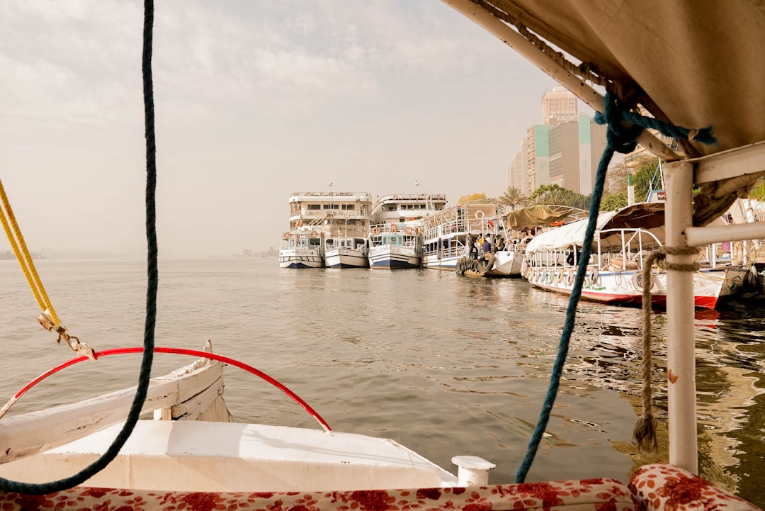
Water transport, though challenged by the Sudd's maze, remains important in areas where roads are absent or seasonally impassable. Flat-bottomed boats carry goods, people, and livestock between settlements that would otherwise be weeks apart on foot. In this sense, the Nile in South Sudan still functions as it has always functioned: as the country's original and most fundamental highway.